Walking, wheeling, running, sailing - raising a racket and having ball - you'll find your perfect pursuit in East Dunbartonshire.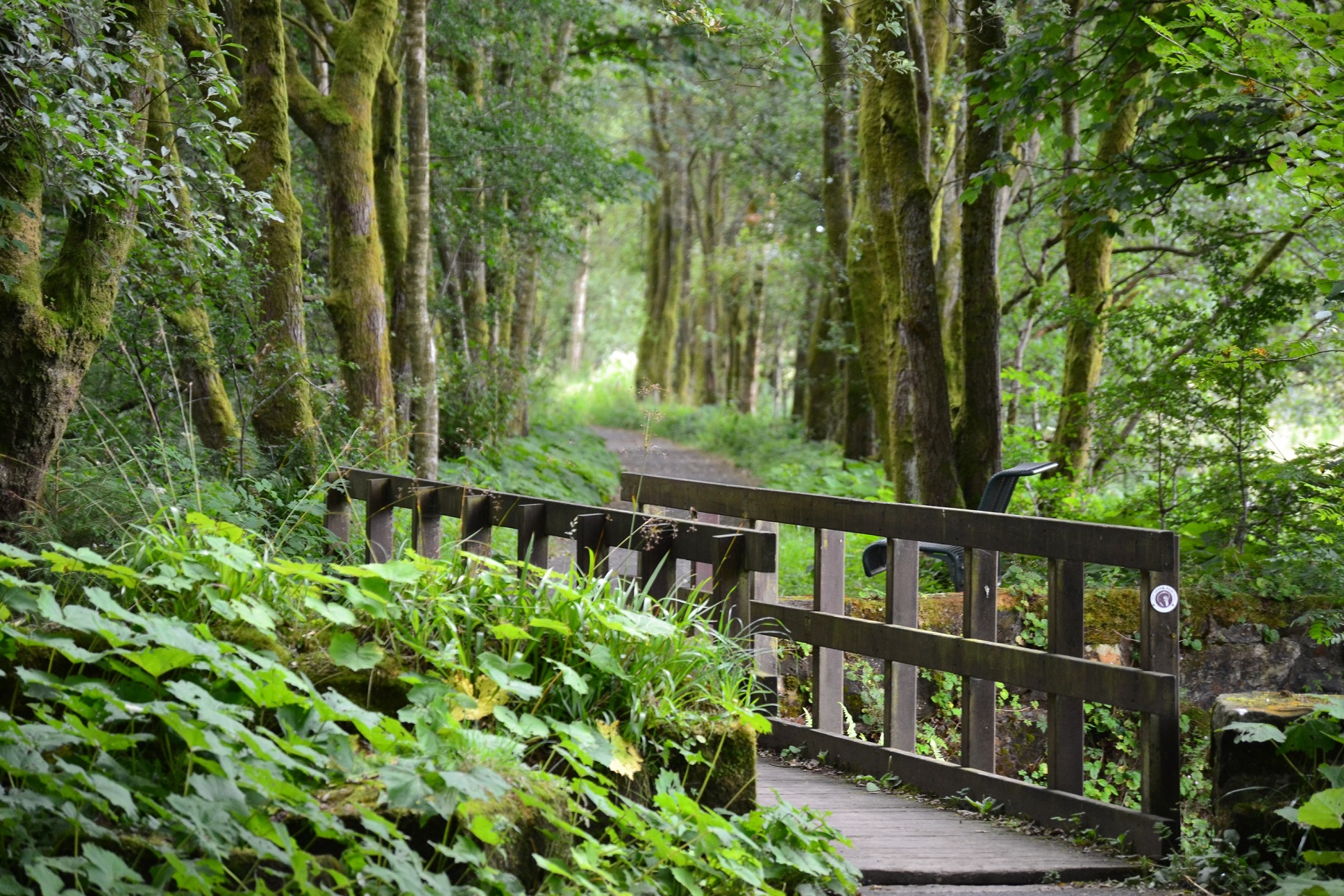
Whether you want to melt away the stress with a stroll while taking a walk through history or you fancy a cycling challenge with a difference, there are a terrific range of paths, trails and activities available locally.
In Scotland, you can go on to most land to enjoy the outdoors as long as you behave responsibly. This is known as Scottish access rights, but please remember to follow the Scottish Outdoor Access Code.
Scottish access rights apply, for example, to hills and moors, forests and woods, rivers and lochs, parks and some types of farmland. They include things like walking, cycling, climbing, horse-riding, kayaking, swimming and watching wildlife.
The Scottish Outdoor Access Code is based on three key principles
- Respect the interests of others.
- Care for the environment.
- Take responsibility for your own actions.
For more information, visit the Scottish Outdoor Access Code website [opens in a new window]
On this page you will find information on:
- West Highland Way
- The Campsie Fells
- Strathkelvin Railway Path
- The John Muir Way
- Forth and Clyde Canal
- Thomas Muir Heritage Trail
- Tales and Trails
- Craigdhu Way
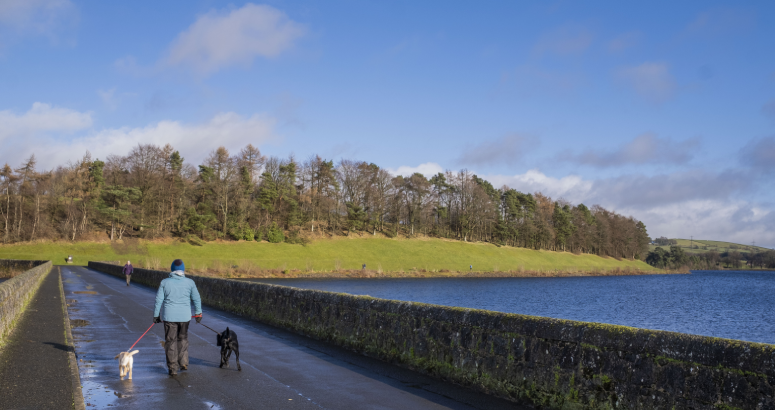
- Milngavie Reservoirs
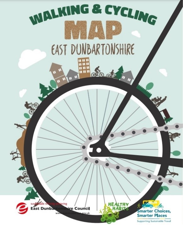
- Healthy Habits - walking and cycling routes
- Dougalston Trail
- Lenzie Moss Explorer
- Merkland Loop
- Lennox Forest
- Golf Clubs
- Caurnie Angling Club
- Leisure Centres
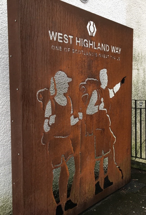
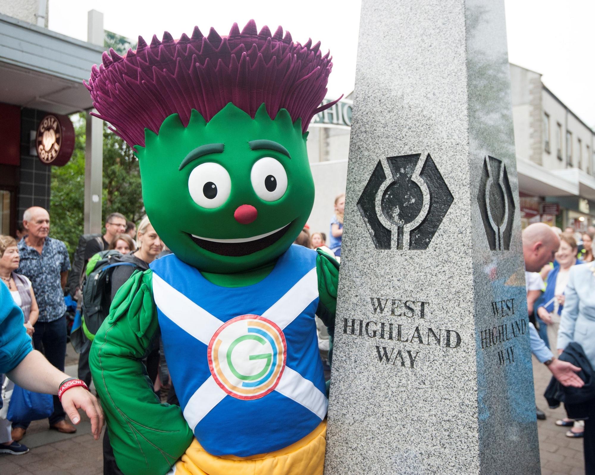
West Highland Way
Milngavie is the traditional gateway to one of Scotland's most iconic and magical routes - the West Highland Way.
Around 40,000 people per year converge on Milngavie - which was crowned Business Walking Champion at the 2021 Scottish Walking Awards - to 'walk the Way'.
It's a chance to enjoy an array of local shops and hospitality venues before setting off on the first leg of the 96-mile route from Milngavie to Fort William - heading towards Mugdock Country Park and on to Drymen.
Milngavie has a direct train link to Glasgow city centre and you can also return from Fort William at the end of the journey. For more information, visit the West Highland Way website [opens in a new window].
If you don't want to 'walk the Way', there are a variety of other amazing walking routes around Milngavie. Check out the Milngavie website for more info [opens in a new window].
Public toilet facilities in the wider Milngavie area can be found within:
- Milngavie Community Library and Community Education Centre (Allander Rd, Milngavie, G62 8PN). Open: Mon-Thurs, 10am-8pm; Fri and Sat, 10am-5pm; closed Sunday.
- Milngavie Town Hall (71 Station Rd, Milngavie, G62 8BZ). Open: Mon-Sun, 8am-8pm.
- Lillie Art Gallery (Station Rd, Milngavie, G62 8BZ). Open: Tuesday, 10am-1pm & 2-5pm; Wednesday, 2-5pm; and Thursday-Saturday, 10am-1pm & 2-5pm.
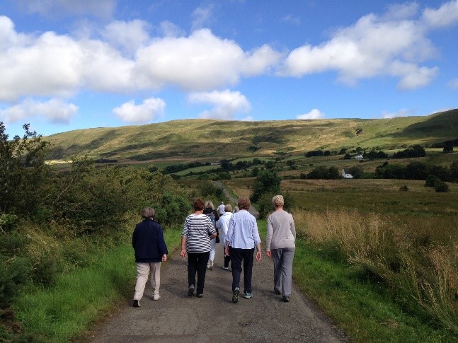
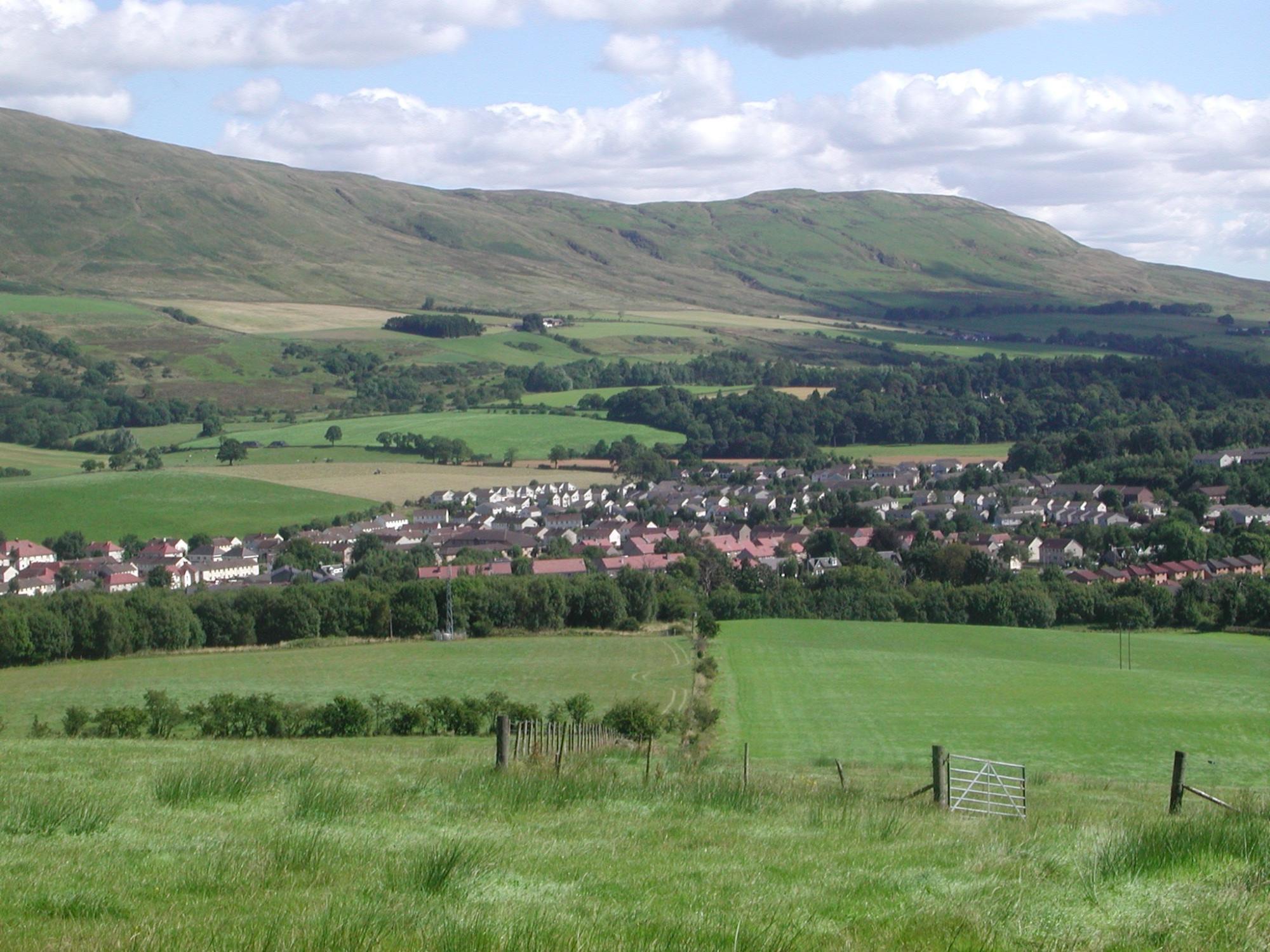
The Campsie Fells
Wherever you go in East Dunbartonshire and whatever you do, you will likely be accompanied by one of Scotland's most stunning backdrops - the Campsie Fells.
This breathtaking range of gently rolling hills is a magical place for walks, wanders, picnics and perfect pictures.
The southern extent of the range falls within East Dunbartonshire, which is the ideal base for people to prepare to explore the majestic natural beauty of the Campsies.
Thousands of people head for the hills every year. Prepare your packs, check the weather forecast, dress appropriately and have fun while getting active. For more info, check out the Visit Scotland website [opens in a new window].
It is estimated that 33 separate eruptions produced the lava flows which formed the Campsies around 300 million years ago (during the Carboniferous period). There are a number of Regionally Important Geological and Geomorphological Sites (RIGS). For more information, visit the Geology Glasgow website [opens in a new window]. You can also download a factsheet from the website [opens in a new window].
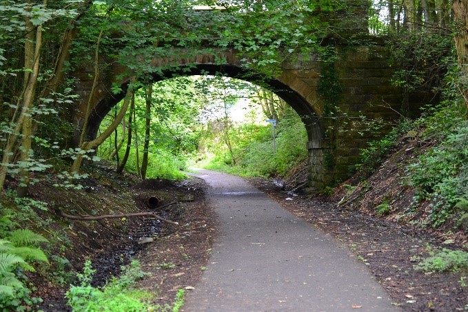
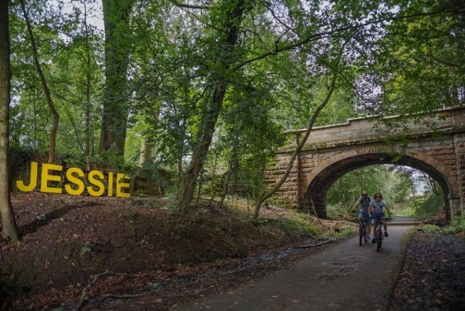
Strathkelvin Railway Path
The Strathkelvin Railway Path - a former branch line from the Glasgow–Edinburgh railway - was recently resurfaced between Kirkintilloch and Lennoxtown as part of a project funded by the Council’s Cycling, Walking and Safer Routes allocation from Transport Scotland and Strathclyde Partnership for Transport (SPT).
Approximately 4,500m of path was resurfaced, helping to address damage caused by tree roots. Hand railing was installed at the start of the section at Kilsyth Road.
You can take a virtual tour of the old path - which also forms part of the National Clyde Network, John Muir Way and Thomas Muir Heritage Trail - by checking out the video below. Closed Captions available.
The John Muir Way
The John Muir Way is officially one of Scotland’s Great Trails and East Dunbartonshire is the perfect place to uncover some of the history and mystery within its 134-mile route.
Whether you walk/cycle part of the way or the full trail - which stretches across Scotland’s heartland between Helensburgh in the west and Muir’s birthplace in Dunbar on the east - it's a fantastic way to see Scotland from another angle.
The route passes through East Dunbartonshire, including Lennoxtown, Milton of Campsie, Kirkintilloch and Twechar. One of its highest points is at Bar Hill near Twechar, a Roman hill fort and part of the Antonine Wall.
Visit the John Muir Way website for advice, guidance and information [opens in a new window]. The route is named in honour of John Muir, known as 'the father of national parks' in America and one of the most influential figures in the conservation movement.
Forth and Clyde Canal
Kirkintilloch is known as the ‘Canal Capital of Scotland’ and the Forth and Clyde winds its way through a number of local communities - offering an array of potential activities:
- Walking, cycling, running, wheeling and scooting along the towpaths
- Boat trips
- Paddleboarding and canoeing the canal
- Fishing.
The canal is usually open to barges and boats between April and October, but the towpaths are accessible (weather permitting) all year round. Visit the Scottish Canals website for full info [opens in a new window].
You can explore the canal virtually by watching the video below. Closed Captions available.
Thomas Muir Heritage Trail
Walk in the footsteps of the 'Father of Scottish Democracy' with this 18km heritage trail linking the Campsie Fells to North Glasgow through beautiful countryside, villages and towns - visiting sites significant in the life of Thomas Muir.
The heritage trail can be cycled or walked in either direction. It naturally breaks into stages and there are opportunities for refreshments and diversions along the way.
Between Clachan of Campsie and Kirkintilloch it follows the Strathkelvin Railway Path and between Kirkintilloch and Bishopbriggs its route is the towpath of the Forth and Clyde Canal.
Check out the path via the fantastic video below. Please note, the video has no commentary, but music playing throughout. Closed Captions available.
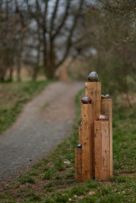
Tales and Trails
Trails and Tales was an arts and heritage learning programme which engaged artists with communities to explore local history and heritage.
Each of the creative projects generated research, conversations and creative responses to learning to inform the design and creation of a series of outdoors sculptural arts and heritage trails, across 11 local communities in East Dunbartonshire.
They included: Auchinairn, Baldernock, Bearsden & Westerton, Bishopbriggs, Kirkintilloch, Lennoxtown, Lenzie, Milngavie, Milton of Campsie, Torrance and Twechar.
For more information, including trail maps, visit the website [opens in a new window].
Trails and Tales was an East Dunbartonshire Leisure and Culture (EDLC) Trust Programme - supported by the Heritage Lottery Fund, Creative Scotland and East Dunbartonshire Council.
Craigdhu Way
Craigdhu Way is a lovely 3km route through Bearsden, including a circuit of picturesque Kilmardinny Loch and nature reserve - a quiet oasis in the heart of Bearsden. It's suitable for walkers and cyclists of all ages. See how many carvings you can spot on the Gruffalo Trail!
Take a look at the fab video below for inspiration. Please note, the video has no commentary, but music playing throughout. Closed Captions available.
Milngavie Reservoirs
Perfect for walking, running and cycling, these flat, surfaced routes around Milngavie and Craigmaddie Reservoirs offer a tranquil escape and great views over Glasgow.
Keep an eye out for the Art Nouveau style monument at the Commissioner’s Cottage near the causeway between the reservoirs. It marks the life of James Gale, one of the Victorian engineers responsible for designing and building the reservoirs.
For more information, check out the Scottish Water website [opens in a new window].
Healthy Habits - walking and cycling routes
As part of the Council's Healthy Habits initiative, a series of maps and trails were developed to showcase local walking and cycling routes.
Visit the Healthy Habits webpage for more information and check out the Walking and Cycling webpage.
You can also access the East Dunbartonshire Walking and Cycling Map, which includes a number of routes, including the Dougalston Trail, Lenzie Moss Explorer and Merkland Loop (see below).
Dougalston Trail
This intermediate-level 6km route takes in a golf course, Dougalston Loch and lovely woodland. There are some steep hills and rough surfaces so it's not for everyone, but it is an enjoyable route around an old country estate. For more details, download the East Dunbartonshire Walking and Cycling Map.
Lenzie Moss Explorer
The Lenzie Moss Explorer is a 4.7km route through attractive farmland and woodland, including a circuit of the beautiful Lenzie Moss Local Nature Reserve. Suitable for people of all ages. For more details, download the East Dunbartonshire Walking and Cycling Map.
Merkland Loop
Enjoy an easy 2.2km route linking the Forth and Clyde Canal to the lovely Merkland Local Nature Reserve. For more details, download the East Dunbartonshire Walking and Cycling Map.
Lennox Forest
This woodland is criss-crossed with wide forest roads, so it’s easy to find a circuit that’s just the right length for a walk, cycle or horse ride. You can walk or ride out direct from Lennoxtown or follow the bridleway that links the forest with nearby Torrance. There are also a variety of equestrian centres/services.
There's a chance to catch glimpses between the trees of long views down to Glasgow or up to the Campsie Fells. Listen out for conifer-loving crossbills fluttering in the canopy overhead and spot roe deer between the trees. For more information, visit the Forestry and Land Scotland website [opens in a new window].
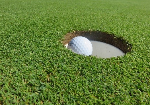
Golf Clubs
East Dunbartonshire is home to a bounty of beautifully-kept golf clubs and courses, each with its own history, heritage and skill level. They offer a warm welcome to both members and visitors alike.
Take a tour of the East Dunbartonshire Golf Clubs.
Caurnie Angling Club
Located at the foot of the Campsie Hills between Milton of Campsie and Inchterf, Antermony Loch is a popular spot for anglers and wildlife lovers. For details of the club, visit the website [opens in a new window].
Leisure Centres
East Dunbartonshire Leisure and Culture Trust runs three fantastic leisure centres locally - Kirkintilloch Leisure Centre, the Leisuredrome in Bishopbriggs and the Allander Leisure Centre, Bearsden.
They provide a range of sporting and leisure activities, opportunities and facilities - including swimming pools, gyms, fitness classes, sports halls, outdoor pitches, squash courts and more.
In addition, Huntershill Sports Hub in Bishopbriggs is home to a variety of sporting facilities, including outdoor pitches, tennis courts, athletics track and a multi-purpose hall.
For opening times and more information, visit the EDLC website [opens in a new window].