Residents, commuters and visitors can really go places in East Dunbartonshire thanks to a new map showing cycle paths and trails for people of all ages.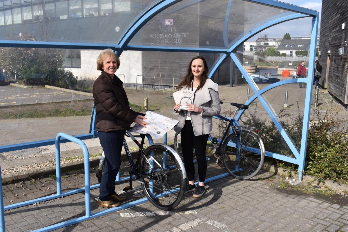
The new East Dunbartonshire Cycle Map features 17 routes to try out – most of them family friendly and using the off-road network.
The aim is to encourage people to get active – whether for work or pleasure.
Key locations and places to visit are highlighted – including Roman remains, Lenzie Moss, the Auld Wives’ Lifts and Mugdock Country Park.
The map also makes it easier to plan everyday journeys – whether you’re cycling to work, shops, leisure centres, libraries or accessing local facilities.
In addition, there is a wealth of information on bike maintenance, safety tips, cycle parking, public transport and walking, as well as details of how to report road defects.
The Council has produced an initial run of 2,000 copies of the map, using funding from the Smarter Choices, Smarter Places programme and tying in with the ongoing Healthy Habits campaign.
Copies of the map are available from the Council’s Community Hubs, libraries, community centres and leisure centres, as well as the Auld Kirk Museum and Council offices at Southbank House, Marina HQ and Broomhill.
Alternatively you can download a PDF from www.eastdunbarton.gov.uk/healthyhabits
To celebrate the release of the map, led rides were held in Bearsden, Bishopbriggs and Kirkintilloch this week.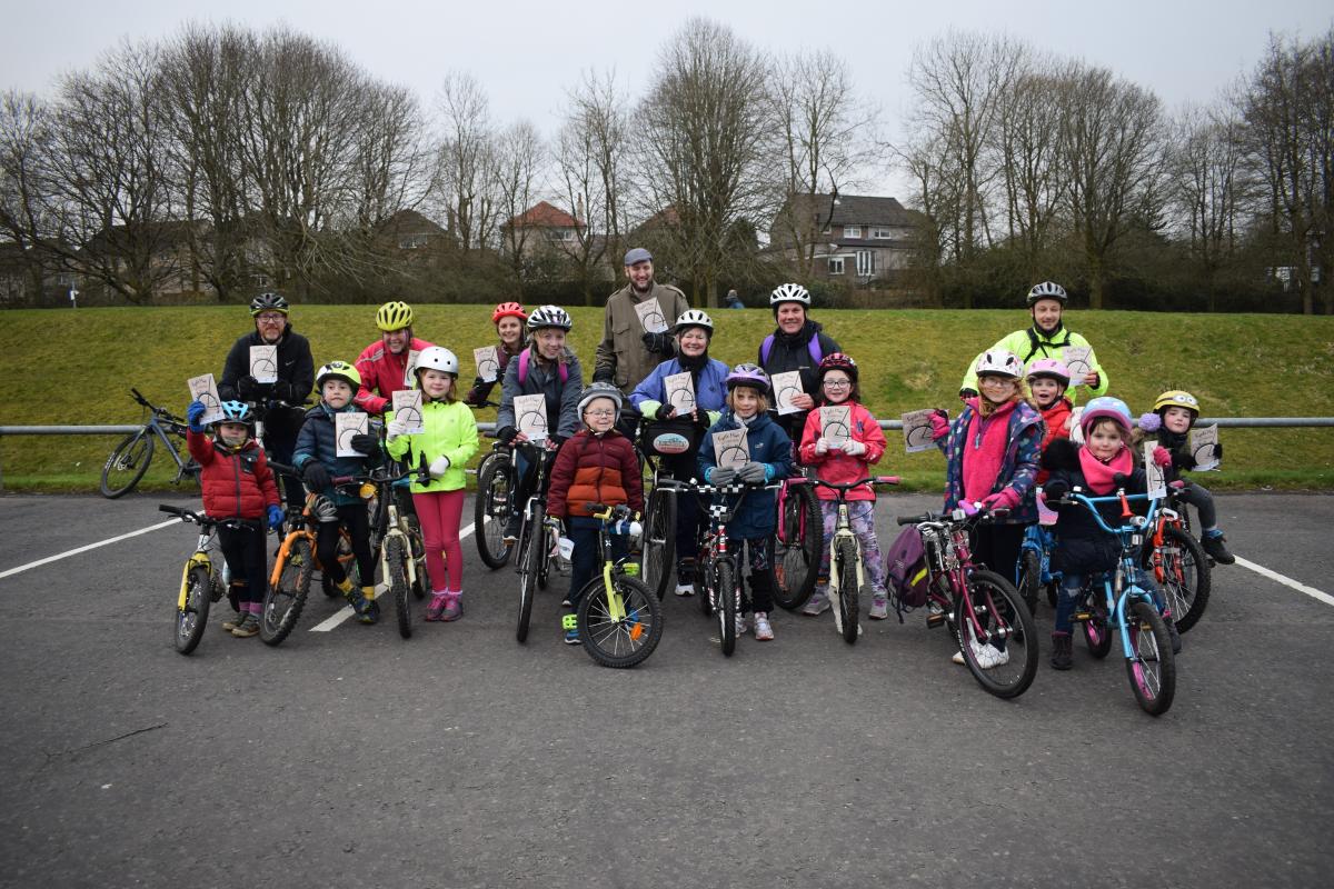
Councillor Susan Murray, Vice Convener of the Place, Neighbourhood & Corporate Assets Committee, said, “The new East Dunbartonshire Cycle Map is an invaluable resource for anyone who wants to get out and about locally – whether they live in the area or are visiting.
“It contains a wealth of information on local cycling routes, places of interest and key locations – including rail stations, Community Hubs, leisure centres, town centres and more.
“I hope the map inspires people to try out some of the 17 featured routes, which utilise the National Cycle Network, off-road path network and quiet links.
“The Council is committed to helping the communities of East Dunbartonshire lead healthier and more active lives, increasing the number of people walking and cycling locally.”
Routes range from 2.2km (1.4 miles) to 215km (134 miles):
- Cadder Loop
- Clyde Coastal Path
- Craigdhu Wedge
- Dougalston Woods
- Forth and Clyde Canal
- Hayston Loop
- John Muir Way
- Lenzie Moss
- Merkland Loop
- Milngavie Reservoirs
- Mugdock Trail
- Mugdock Woods
- Possil Loop
- Strathkelvin Railway Path
- Thomas Muir Trail
- West Highland Way
- Bears Way
Follow us on Twitter @EDCouncil or like us on Facebook for the latest updates.